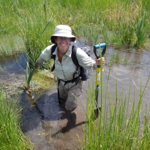
State Wetland Coordinator & Wetland Ecologist
Utah Geological Survey
Bio:
Diane Menuz is the State Wetland Coordinator and a Wetland Ecologist with the Groundwater & Wetlands Program at the Utah Geological Survey, where she has worked since 2013. She has a B.S. from the University of California, Santa Cruz, and a M.S. from Utah State University, both in ecology. She coordinates wetland research at the UGS, including wetland field assessments, wetland mapping, remote sensing analysis, and outreach to government agencies and the public. In her free time, Diane enjoys hiking, rock climbing, canyoneering, and other adventures with her husband, daughter, and dog.
Title: A Many-Angled Approach to Great Salt Lake Wetlands Research
Abstract: The Utah Geological Survey’s (UGS) Wetland Program conducts research on wetlands around the state, with a focus on field assessments, mapping, remote sensing analysis, and hydrologic data collection. Much of UGS’ initial work focused on Great Salt Lake (GSL) wetlands, collecting field data to develop a rapid assessment protocol for the state and creating updated National Wetlands Inventory spatial data for wetlands along the Lake’s east shore. In more recent years, UGS has studied GSL wetlands as part of larger projects that look more broadly at resource conditions within whole watersheds or ecoregions without a more tailored focus on GSL. As the legislature and Utah public shift their attention toward GSL, UGS has also turned their focus back to the Lake. We have several ongoing and upcoming GSL-focused projects. First, our program is finishing up the first year of a two-year project to characterize the hydrology and ecology of the GSL Shorelands Preserve in collaboration with groundwater hydrogeologists. Second, we are conducting a study on the health of mudflats and playas around GSL, completing work begun at the Utah Division of Water Quality that will assess all wetland types around the Lake. Future work will build on this field research with intensive hydrologic monitoring and remote sensing analysis.

